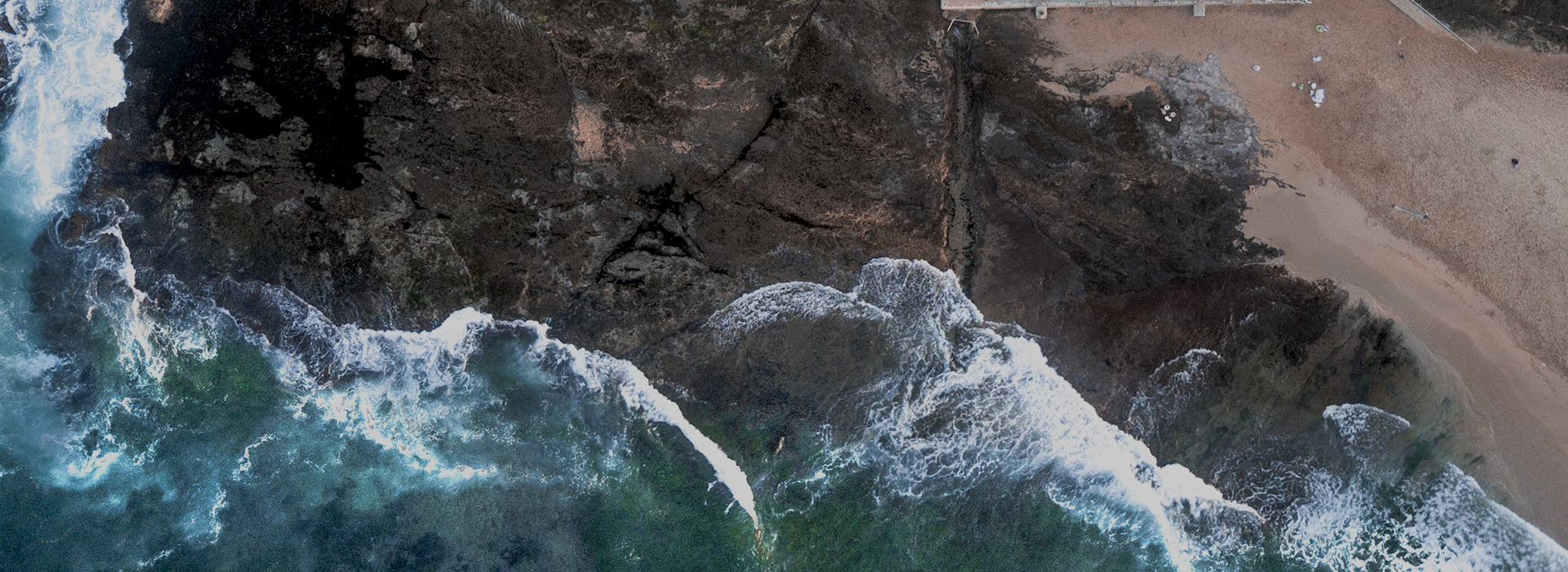

Application Fields
Features
Rich Multispectral Channels
It provides 7 spectral channels, including dual green, dual red edge, and near-infrared bands, supporting finer vegetation analysis and crop monitoring. The central wavelength is customizable to meet more complex monitoring requirements.
Synchronous Multi-Modal Data Acquisition
It synchronously collects multispectral, high-definition visible light, thermal infrared (optional), and GPS data. Combining spectral and multi-dimensional data enables in-depth analysis.
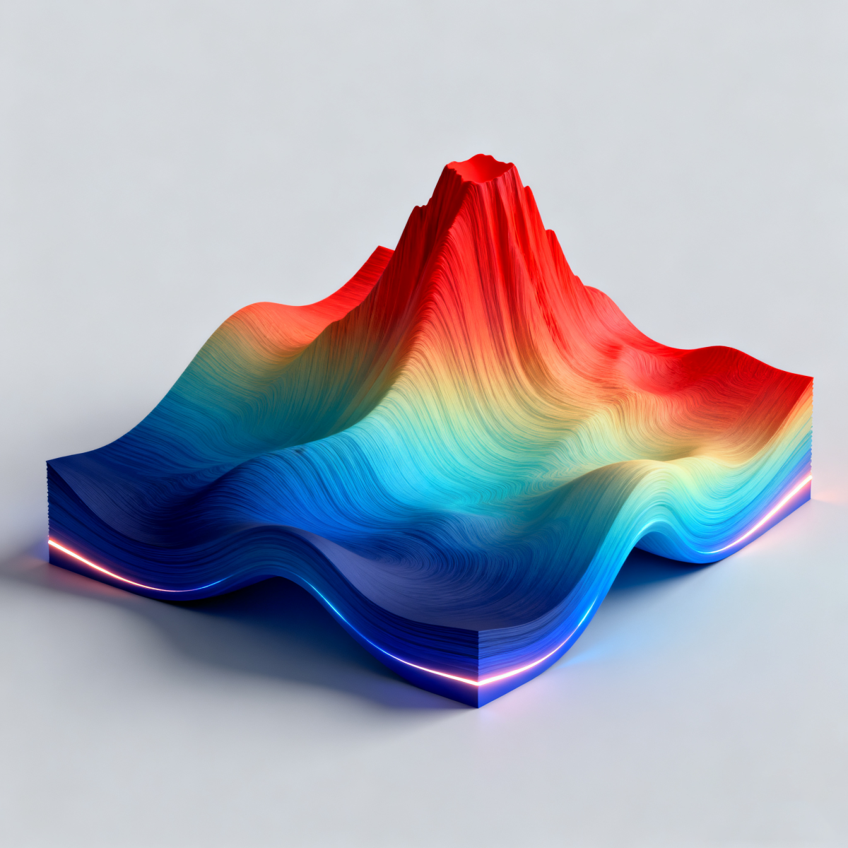
Real-Time Calculation & Visualization
Built-in real-time calculation and rendering of vegetation indices (such as NDVI, GNDVI, etc.) are supported, allowing real-time viewing on the ground station to improve operation efficiency.
Strong Adaptability & Scalability
Compatible with DJI M400 drones and the Xport gimbal interface, it supports dual payloads with a drone dock and optional thermal infrared modules. It can be adapted to automated drone airports to flexibly meet various mission requirements.
Excellent Environmental Adaptability
Operating temperature: 0°C to 40°C; Storage temperature: -20°C to 60°C. It features good moisture-proof and anti-condensation performance, suitable for long-term field operations.
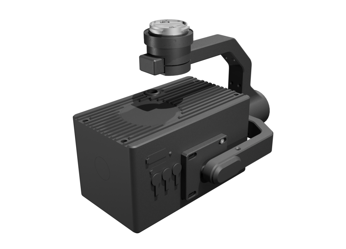
Specifications
| Multispectral Camera | Multispectral Sensor | 5MP, 1/1.8" Sensor |
| Spectral Channels (Default) | Blue (B): 450nm±10nm | |
| Green (G): 530nm±3nm; | ||
| Green (G): 560nm±10nm | ||
| Red (R): 660nm±10nm | ||
| Red Edge (RE): 720nm±5nm | ||
| Red Edge (RE): 750nm±5nm | ||
| Near-Infrared (NIR): 850nm±15nm | ||
| Field of View (FOV) | DFOV: 75° | |
| Lens Focal Length | Focal Length: 5.5mm | |
| Aperture | F/1.6 | |
| Ground Sampling Distance (GSD) | H×0.05 m/pixel, where H is the flight altitude of the UAV relative to the mapping area (Unit: meters) | |
| Maximum Photo Resolution | 2448 x 2048 | |
| Photo Format | TIFF | |
| High-Definition Visible-Light Camera | 传感器 | 12MP, 1/1.1" |
| Lens Focal Length | 8mm | |
| Aperture | F/4.0 | |
| Field of View (FOV) | DFOV: 82° | |
| Ground Resolution | H×0.034 m/pixel, where H is the flight altitude of the UAV relative to the mapping area (Unit: meters) | |
| Maximum Photo Resolution | 4096 (H) x 3000 (V) | |
| Thermal Infrared(Optional) | Video Resolution | 640×512 (25Hz/30Hz) |
| Field of View (FOV) | DFOV: 45.2° | |
| Video Format | MP4 | |
| Pixel Pitch | 12 μm | |
| Wavelength Range | 8 μm to 14 μm | |
| Noise Equivalent Temperature Difference (NETD) | ≤ 30 mK | |
| Temperature Measurement Range | -20℃~150℃, 0℃~550℃ | |
| System Functions | Compatible UAV | DJI M400 |
| Gimbal Mechanical Interface | DJI Xport | |
| Drone Dock Compatibility | Compatible with M400-based drone airports, supporting dual payloads | |
| Real-time Calculation & Display | Real-time calculation and rendering of multiple vegetation indices (NDVI, GNDVI, NDRE, OSAVI, LCI), with real-time display on the ground station. | |
| Supported File Systems | FAT32 (32GB); exFAT (>32GB) | |
| Supported Memory Card Types | Recommended: U3/V30/A2 class or higher microSD™ UHS-I memory card, maximum support 1TB capacity | |
| Others | Storage Temperature | -20℃~60℃, 20%~80%RH (No Condensation) |
| Operating Ambient Temperature | 0℃~40℃, 20%~80%RH (No Condensation) |
message
All Rights Reserved@Hangzhou Hyperspectral Imaging Technology Co., Ltd. 浙ICP备19040412号-2 网站地图
Design By: Yushangweb